
Understanding the 30A Coastal Construction Line
December 4, 2025
December 4, 2025
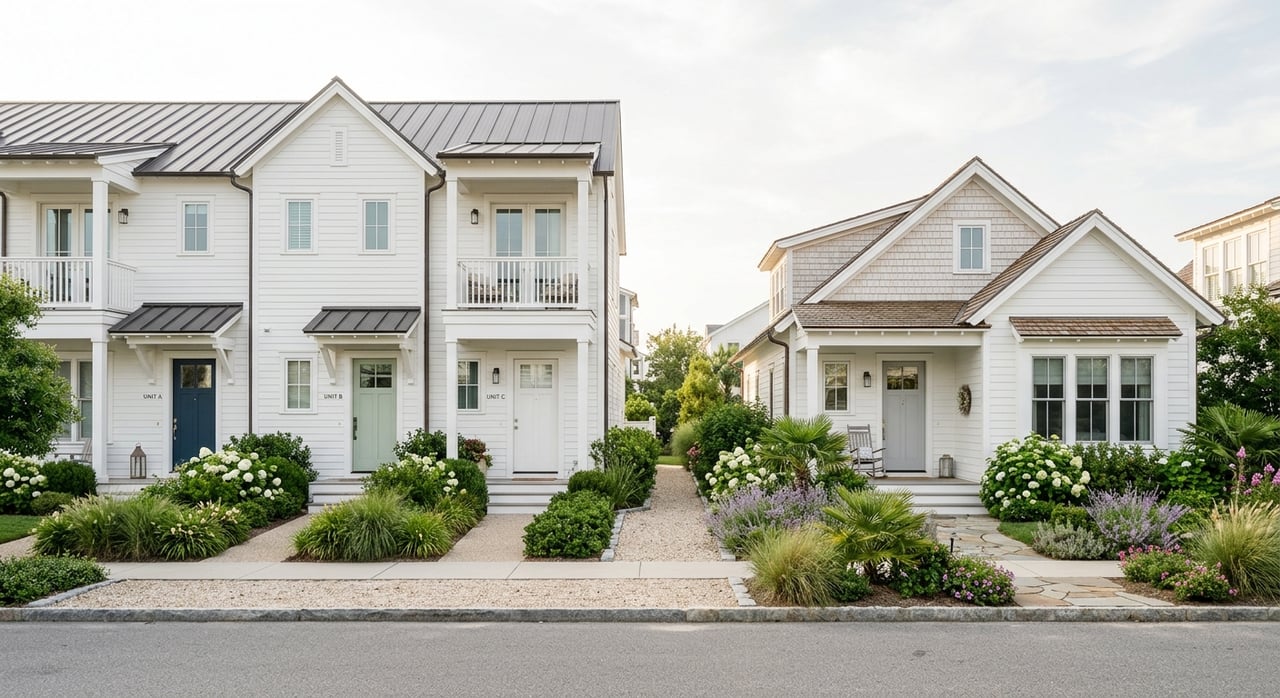
Curious why two nearly identical Gulf-front lots on 30A have very different build options and risk profiles? If you are eyeing Inlet Beach for a home, a rental, or a custom build, the Coastal Construction Control Line is one of the most important things to understand. With the right prep, you can protect value, plan smarter, and avoid delays. This guide explains what the line is, how it works on 30A, and the steps to verify any property. Let’s dive in.
Florida’s Coastal Construction Control Line, often called the CCCL, is a state-drawn regulatory boundary on sandy beaches. It exists to reduce risk to life and property and to protect beach-dune systems that act as natural storm buffers. It is not the same as your lot line, the mean high water line, or the vegetation line. The CCCL simply marks where extra state rules and permitting apply for construction and repairs.
Along Inlet Beach and the broader 30A corridor, the line shapes how, where, and whether you can build. If a project is seaward of the CCCL, you typically need a state permit in addition to local building approvals. Reviews are stricter seaward of the line, and some types of hard armoring are restricted. Local dune protection and setback rules also apply and can be more restrictive in some cases.
The Florida Department of Environmental Protection administers the CCCL program statewide. Walton County has its own land development code, building permits, and dune protection rules that work alongside the state program. If your project touches the CCCL area, expect to work with both. In some situations, variances or limited approvals may be possible but can require mitigation like dune restoration or elevation.
The CCCL is different from FEMA flood zones and base flood elevations. A property landward of the CCCL may still be in FEMA’s AE or V zones, which carry flood insurance and elevation requirements. Properties seaward of the CCCL are almost always in high-risk coastal zones. In practice, you may need to meet CCCL permitting, local building codes, and FEMA elevation standards at the same time.
If a structure is seaward of the CCCL, plan for more engineering and design controls. New builds often need to be elevated, pile-supported, and paired with dune preservation or restoration. Some projects may be relocated landward of the line to reduce risk. Minor work or certain small structures can sometimes be approved with conditions, but approvals are discretionary and site specific.
Rebuilding seaward of the CCCL after a storm is not automatic. You must seek state authorization and meet current codes and dune-protection requirements. Emergency repairs may be allowed under limited conditions, but they still fall under the program’s rules. Lenders and insurers often want clarity on rebuildability before closing or paying out claims.
Homes on or seaward of the CCCL often sit in high-risk flood zones, where flood insurance and wind coverage can cost more. Your lender may require proof that the home can be rebuilt to current standards. The line can reduce usable building area and add costs for engineering and mitigation, which can influence pricing and buyer pool. At the same time, Gulf-front demand remains strong on 30A, so impact depends on exact location, dunes, and buyer goals.
Use this simple process before you write an offer or list a home:
On 30A, small mapping differences and shifting dunes can change what is possible on a site. Rules can update after major storms. You deserve advice grounded in current maps, county code, and practical build experience. If you are planning to buy, sell, or build near the beach, connect with a trusted local advisor who can coordinate surveys, permitting strategy, and market positioning. For tailored guidance and a discrete, high-touch approach, reach out to Tom Fitzpatrick.


Specializing in 30A luxury properties, Tom offers an unparalleled level of service, marketing expertise, and personalized attention, ensuring your real estate needs are met with honesty and integrity.